
TerrAvion Flies High in San Leandro
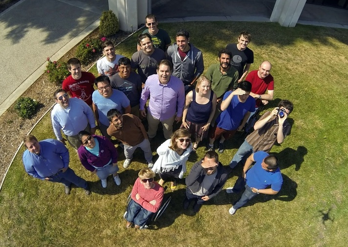
From the outside you would never know it, but on the second floor of 176 Juana Avenue, perched atop a State Farm Insurance office, hides an exciting company unlike any other. TerrAvion recently moved its headquarters to San Leandro, and like so many other recent new arrivals, chose the location based on its central position in the Bay Area, as well as its proximity to BART and the I-580 corridor.
Click on image to expand
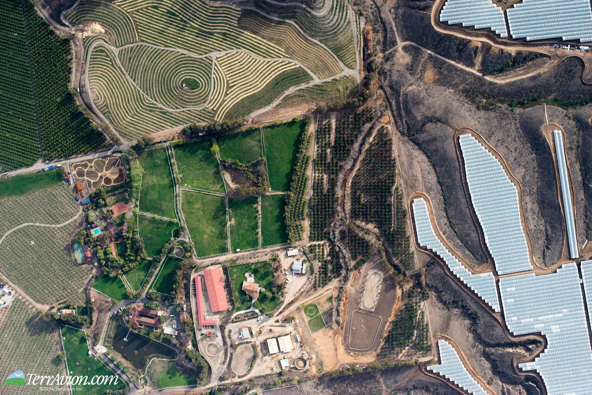
TerrAvion was incorporated in 2013 and moved to San Leandro in November of 2015. CEO Robert Morris built the company on his idea to provide multi-spectral aerial imaging for farmers, equipping them with the ability to monitor crop growth and health on a weekly basis. This type of service is not new, but in the past farmers could typically only afford these services once or twice per year. TerrAvion’s OverView service can cover hundreds of customers in a single flight, which makes the service not only much more affordable, but also increasingly beneficial from an agricultural point of view.
Click on image to expand
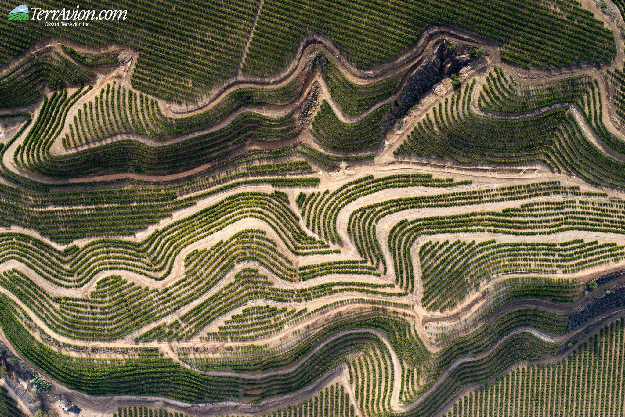
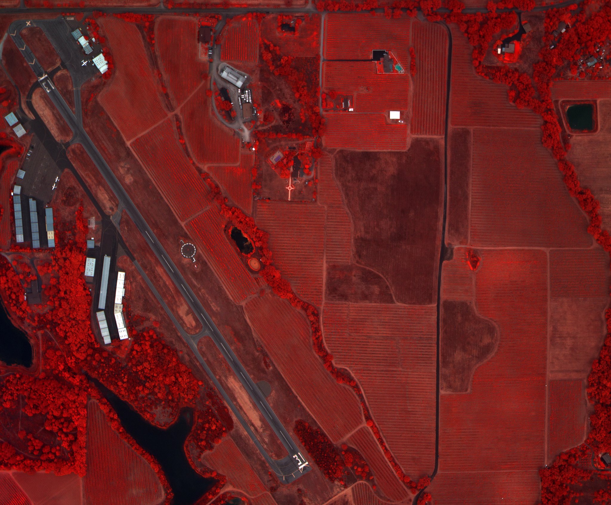
What sets TerrAvion apart is its ability to turn around data quickly. Morris and his team have developed hardware that captures color, infrared, NDVI (Normalized Difference Vegetation Index), and thermal imagery simultaneously which is then processed and delivered digitally by the following day. The resulting images can pin-point areas that need attention, from crops failing to thrive, to irrigation leaks. In short, the data enables farmers to address problems swiftly, resulting in healthier and more profitable crops. Since this “Image Factory” makes use of the Cloud for its storage, customers can monitor progress and development of their crops over weeks, months, and even years.
Click on image to expand
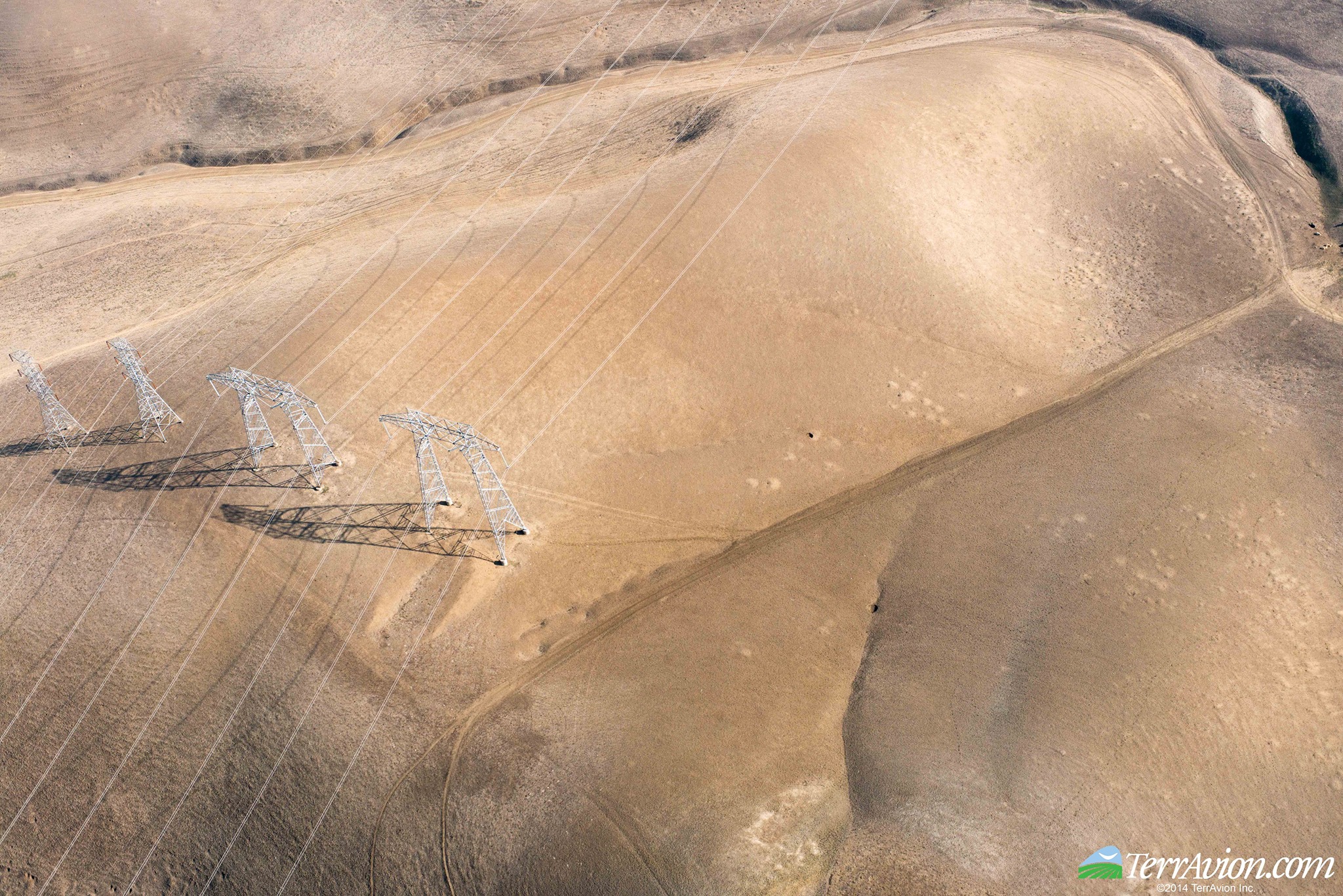
The OverView service can also be used for land surveys for asset management, insurance claims, monitoring algae blooms in waterways, morphology, and flooding. Currently the largest aerial imaging provider on the West Coast, TerrAvion flies over Napa and Sonoma valleys, large farms in the valley and the northwest, select areas of Washington and Oregon states, as well as in Chile, South America. While today’s business is primarily in wine grape farming, the company is growing quickly and hopes are to expand service to corporate and commercial production farming. In 2015 a busy week would see upwards of ten flights, but TerrAvion projects a significant increase in 2016.
TerrAvion’s arrival in San Leandro fuels yet more energy to the technology cluster that the City is proud to foster.
Click on image to expand
Click on image to expand


Leave a Reply